By Ekaterina Zhdanova-Redman

|
Egypt - Geography
By Ekaterina Zhdanova-Redman |
|
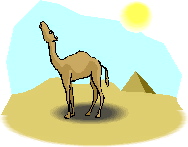 1 Egypt is an Arab country in the Middle East. It is almost square in shape and occupies the northeastern corner of Africa and the Sinai Peninsula of southwestern Asia. The territory of Egypt is about one-ninth the size of the United States, or a little larger than Texas and New Mexico together. The Mediterranean Sea forms the northern boundary of the country, Israel and the Red Sea lie to the east, Sudan lies to the south of Egypt, and Libya to the west.
 |
Create Weekly Reading Books
Prepare for an entire week at once! |
| Leave your feedback on Egypt - Geography (use this link if you found an error in the story) |